Home / Tag Archives: countries

Tag Archives: countries

jVectorMap

jVectorMap

jVectorMap is a JavaScript library that provides interactive vector maps for websites and web applications. It is an open-source plugin that uses SVG (Scalable Vector Graphics) to render high-quality maps with customizable markers, labels, and tooltips. ...

International Telephone Input

International Telephone Input

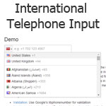
International Telephone Input is a jQuery plugin for entering international telephone numbers. It adds a flag dropdown to any input, which lists all the countries and their international dial codes next to their flags. ...

jQuery clickable map

jQuery clickable map

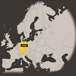
Free interactive map of forty-seven countries of the European continent. It's a better way to convert a list of regions into a stylish clickable map without a Flash Player or any external plug-ins which works in all modern browsers ...

Scroll To Top